Tuesday, May 31, 2016

Day 3: Entering the Siskiyou Wilderness, exiting civilization

[Erin]:

We started Day 3 with a long uphill up the G-O road, an aborted project that had once promised to link the metropolises of Gasquet and Orleans. The Forest Service apparently started planning the road in 1963, in order to better harvest timber of the area; the entire project was scrapped in 1990 after decades of fighting from local Native American tribes finally won the day.

We reached the South Kelsey Trail and entered the Siskiyou Wilderness, hiking along the south fork of the Smith for several miles. As we crossed creeks, the trail started to deteriorate somewhat, particularly past beautiful Eightmile Creek, which equals the south fork Smith in volume where they meet. As an aside, Emily and I washed in Eightmile Creek because of all the poison oak we'd hiked through, and as she bent over to the water, our only bottle of Dr. Bronner's fell out of her shirt pocket and whoosh it was gone, down some rapids.

Emily negotiates the "trail" just past Eightmile Creek.

As we hiked, it became the job of the person in front to call out poison oak: "oak left," "oak right," and "oak across the trail." We pulled ourselves up and over logs, tiring as we walked. We saw two bears, one in front of us on the trail who ran away as soon as it heard us; the other across the Smith, who looked up at us with an air of curiosity as we passed. 

We finally reached a meadow next to Harrington Creek, where we camped. Tiny insects, smaller than mosquitoes, worked their way through our head nets and bit our faces, causing us to slap ourselves.


Tiny insects ruled this meadow.

I was anxious for Day 4; it was the only section in Michael's map set where he had a warning for hikers: "This is a difficult section of trail. If you attempt it, take your time...". We knew that the trail would be tough - at the trailhead for the Siskiyou Wilderness, there was a large map and someone had drawn an X over the section we would face on Day 4, and written "NOT PASSABLE" in permanent marker. My thoughts and then dreams were full of doubt.

Total miles: 13.5

Monday, May 30, 2016

Day 2: Road walks, Schmoad Shmalks

[Erin]:

In my journal for today, I wrote: "Today was exhausting." It was exhausting. We started with a long beautiful hike out of Jedediah State Park along the Little Bald Hills Trail, then the Paradise Trail. Flowers were flowering, seeps were seeping, and our steps were easy. We were finally really alone, for several miles.

Western Azalea smells like honey.
California lady slipper (Cypripedium californicum) and Darlingtonia californica.

Silene - I think Silene serpentinicola. Emily's favorite flower.
Then we walked the road along the South Fork Smith River, and the reality of Memorial Day hit us as traffic passed, one car after the next, roaring by in pursuit of leisure.


The Smith River was beautiful, as always - a luminous green ribbon.


But the road was hot, reflecting its heat directly up to us. We hiked up a gradual grade, up and up, our hiking poles clicking along the pavement.We got to a road sign at the junction of the bridge to the G-O road: the sign said "Big Flat Campground - 1 mile." Our destination, still a mile of road walk away.

Discouraged, Emily and I sulked across the bridge, looking for a place to camp. Perhaps we could just camp here, near the G-O road? But the road was lined with private property. We both sat down, resting our backs against our packs. I tilted back a bit, closing my eyes, and slept a deep, full sleep.

About an hour later, we got up, walked back across the bridge, and walked the last mile (which was really about 1/2 mile) to Big Flat Campground. The campground was completely empty and we set up across several sites, calling them the "wings" of our house. We took a brisk bath in Hurdy Gurdy Creek and hung our laundered socks.

Our evening ritual began: set up tent, do yoga, write in the journal, filter water, throw a rock over a tree branch for the bear bag, cook dinner, eat dinner, wash dishes, hoist food up in the bear bag. Emily taught me how to play euchre: she won (6-5) and said her grandma would have been proud. We played in our mosquito head nets, which only slightly obscured our vision.


Mosquito face coverings are all the rage.

Total miles: 13 

Sunday, May 29, 2016

Day 1: Hiking with the Hordes, Jedediah Smith State Park

[Erin]:

I woke up early, after an evening of wedding festivities. I said goodbye to Randy, who was spending the rest of the weekend assisting a team for the kinetic sculpture race. Emily and Dan arrived to pick me up in the "Blue Dragon," an elegant name for an equally elegant vehicle. Just four days before, Emily and I had switched all our hiking plans, from hiking the BFT south to north to hiking it north to south. This was because of snow fears in the southern reaches (especially the road to the trailhead in the Yolla Bollys), but it also meant things were a little hectic in the final planning stages.

I thought about what I would soon miss: my bed, my dog Marvin, bagels. I also thought about what I was probably forgetting. What was I forgetting? Marvin thought I was forgetting him...


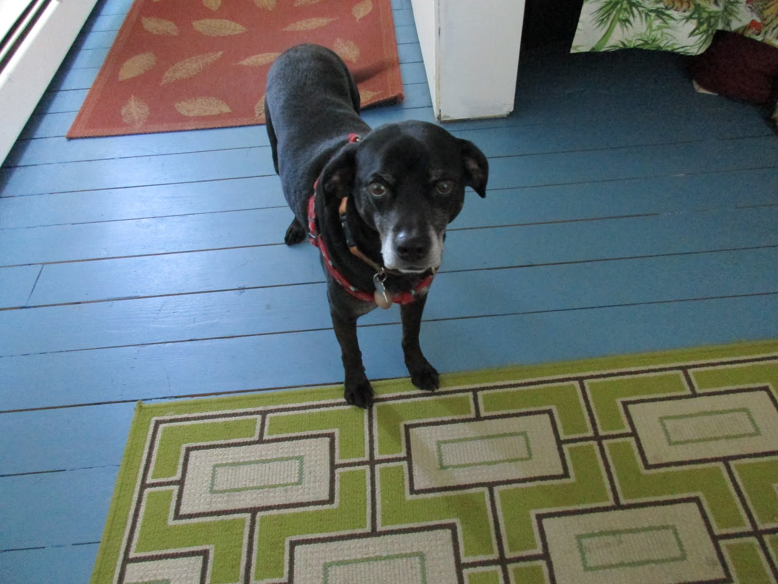
Marvin, a sad but exceptionally intelligent robot.
I had been packing my bag since about November. I had weighed every last thing to go into it, cutting away until it was 30 pounds with food and water.


Every single thing I would carry for the next month is listed here:
  • ULA backpack (made in Utah; really lightweight and comfortable)
  • Hiking poles
  • Thermarest
  • Sleeping bag (down, full of holes and repaired with duct tape) + compression sack
  • Minimal clothing (in 2 stuff sacks, later 1)
    • Purple Rain skirt (made in Ashland, by a woman who knew about BFT!)
    • Merino wool long john bottoms
    • Merino wool hiking t-shirt
    • Down jacket
    • Lightweight fleece jacket (later ditched)
    • Rain jacket + pants
    • Underwear (x5)
    • Wool socks (x2, later x3)
    • Warm hat, sun hat, bandanna, "buff" hat
    • Fleece gloves
    • Mosquito face net
    • Hiking shoes + watershoes
  • Sunglasses
  • Electronics and other stuff (in 1 stuff sack):
    • Kindle with novels + a few scholarly articles to make me feel like I wasn't a total slack
    • GPS + compass
    • Satellite messenger
    • Camera
    • Extra AA + AAA batteries
    • Backup charging battery (for my Kindle, Emily's camera) 
    • Head lamp
    • Rite in the Rain journal + pen
    • Deck of cards
    • Heavy duty tape for fixing things
  • Bear spray
  • Ultralight alcohol stove + fuel + cooking pot
  • Funny little triangular mug + cup set, plus spork, plus folding pocket knife
  • Cord for bear bags
  • Camelback water thing (pouch? bladder?) + collapsible water bottle
  • Food 
  • Sawyer water filter + two bags
  • Toiletries: toothbrush + paste, floss, lip balm, fancy face moisturizer, sunblock, tweezers, tiny Dr. Bronner's soap, tampons
Emily carried the same kind of stuff, minus a few things and plus the tent, a TarpTent made in California - tough, and absolutely awesome. She also carried a solar blow-up light, her camera, and our emergency medical kit (which was later supplemented with much more gauze + bandages, and I carried some of those).

Dan drove us to Crescent City, where we got Mexican food at a place that lived by the ethic of quantity over quality. We took our burritos and real-sugar drinks to Jedediah Smith, where he dropped us off at the Howland Hills road. It was Memorial Day: cars passed slowly, periodically unloading people to take photos of trees and each other; as we reached the Mill Creek and Stout Grove trails, we were joined by small packs of tourists.


We left the crowds when we reached Little Bald Hills trail. Upon learning the Latin name for cat's ear (Calochortus elegans), I began our proud practice of yelling out botanical names to scare away bears. Yell the name of the plant, maybe sing a small song in its praise, and then hike for a while until you remember that bears exist and yell the name again.

Cat's ear (Calochortus elegans)
We reached the campground, I think called Backcountry, and two problems confronted us. Because of our last-minute direction switch, we hadn't prepared well for this first site. First, we had no camping permit. Because of the holiday, the campground was filling up and we sheepishly staked out an early, best spot, leaving the permit-holders to wander around looking for a place to pitch their tents. Second, there was no water. NO water. There was a horse trough with extremely bad water. A couple other campers looked at us piteously when we asked where water was and said: "the ranger told us there was no water here when we got our permit." So we nodded, agreeing that the ranger certainly would have told us this had we gotten our permit, and decided to save our water for our morning coffee and eat tuna and tortillas for dinner.


But we had a picnic table, and we made a fire, and we shared our site with a friendly couple from the South who worked at a pulp plant in Oregon. I started my book, Angle of Repose by Wallace Stegner, and Emily started reading The Name of the Rose by Umberto Eco. We set a pattern by getting to sleep early, the better to wake up early in the morning for a long walk.

Total miles: approximately 10

Saturday, May 28, 2016

The Bigfoot Trail: explained

[Erin]:

I wanted to start this blog by explaining why. Why the Bigfoot Trail? Why not another trail? Why not stay at home?

Poster available: http://www.bigfoottrail.org/route/poster/.


The Bigfoot Trail, as I see it, is essentially my backyard. Before I moved to Northern California - many years before, in fact - I would look at maps of California and wonder at the giant expanses of wilderness in that corner of the state.

Michael Kauffman put out his maps for the Bigfoot Trail in early 2015, and Emily and I started to talk wistfully about hiking it. In November 2015, we decided to get serious about the hike. We shopped for lightweight gear, pored over maps, sat down with Michael for beer and advice, and cajoled friends into meeting us on the trail for resupplies.

Some time in the spring of 2016, as we worried over a particularly gruesome-looking creek crossing (Stuart Fork), it struck us that we didn't have to do every step of the trail. We decided to prioritize what we wanted to experience: the wilderness areas and the botanical diversity of this region. Why were we doing the hike? For the isolation, beauty, and challenge of a little-utilized route. We decided to skip the road section between the Trinity Alps and Smokey Creek (north of the Yolla Bolly wilderness). We also decided to skip the road section between the Siskiyou Wilderness and the Red Buttes. We added in side hikes within the wilderness areas.

I thought of our timing as a balance between challenging ourselves and having time to read books and play cards. I made excel spreadsheets of where we were going, what we would eat, and who would meet us where. Neither of us had done such a long hike, though we'd backpacked together before and felt we could do this.

The blog is written first person, with most of the early entries by me (Erin) and then alternating between the two of us.